WOCAT Earth Engine Apps
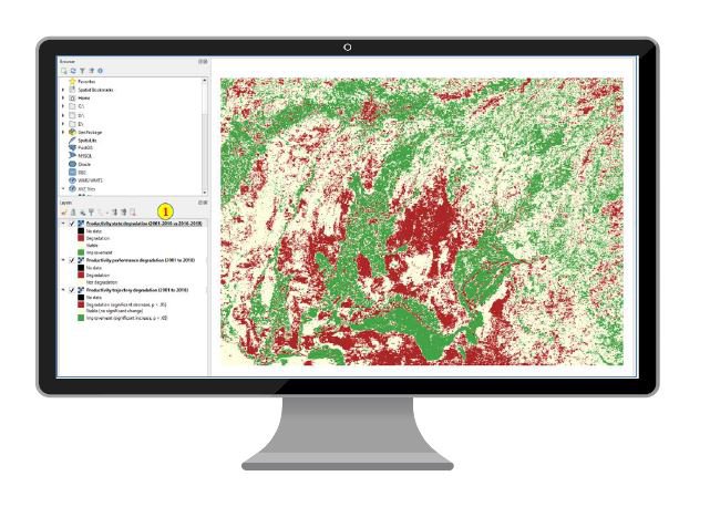
Mapping land degradation is not easy, particularly at large spatial scales. The impacts of land degradation on ecosystem services as well as the drivers and processes involved are spatially diverse and change over time, and so does the social perception of the severity and effects of degradation. Therefore a unique map of land degrdation cannot take into consideration all views or needs. However, mapping and quantifying land degradation is crucial to spatially identify, and strategically plan actions to counterbalance loss of natural capital, as well as to monitor and report progress towards LDN at landscape scale. Using cloud computing WOCAT has co-developed easy to use applications for experts and non experts that integrate global, national and local information. WOCAT Apps facilitate the integration of expert knowledge, support evidence base decision making and planning processes, as well as participatory mapping. WOCAT apps allow users to implement the principle of Convergence of Evidence for mapping Land degradation, as introduced in the World Atlas of Desertification. With just one click you can explore different apps co-developed with various institutions and countries around the world!
- Keywords:
-
Characteristics:
Decision Making Scale: Local, National, Regional (Sub-national)
Decision Making Direction:
Stakeholder Involvement:
Tool Type:
View Other Tools