Tools Listing
Welcome to the tools list section. Explore the tools by clicking Learn More button on each listed tool.
Jan. 20, 2025
Earth Map
Earth Map, developed by FAO and Google, is a user-friendly tool that leverages Google Earth Engine'…
Keywords: land use planning (LUP), Forest monitoring, land restoration
Sept. 13, 2024
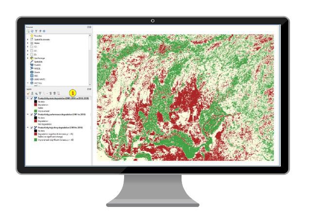
QGIS
QGIS (Quantum Geographic Information System) is a powerful, open-source GIS software that enables u…
Keywords: SLM, land use planning (LUP), SDG 15.3.1, Forest monitoring, land restoration

May 3, 2024
KoBoToolbox
KoboToolbox is an innovative open-source platform for collecting, managing, and visualizing data. I…
Keywords: SLM, land use planning (LUP), Forest monitoring, land restoration
Nov. 15, 2023
WOCAT Earth Engine …
Mapping land degradation is not easy, particularly at large spatial scales. The impacts of land deg…
Keywords:

Nov. 8, 2023
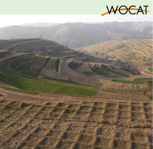
VISUAL SOIL ASSESSM…
The maintenance of good soil quality is vital for the environmental and economic sustainability of …
Keywords: SLM
Nov. 8, 2023
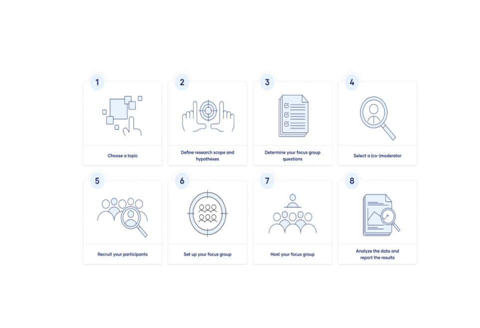
Focus Groups
Focus groups are a type of qualitative research. Observations of the group’s dynamic, their answers…
Keywords:

Nov. 8, 2023
World Atlas for Des…
• Comprehensive digital platform designed to provide a global overview of desertification and land …
Keywords: SLM
Nov. 8, 2023
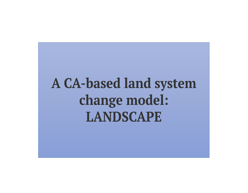
LANDSCAPE
The tool is based on hierarchical allocation strategy and resistances of land use. It is used for q…
Keywords: SLM

Nov. 7, 2023
Resilience Diagnost…
• Part of Stakeholder Approach to Risk Informed and Evidence Based Decision Making (SHARED) • Web-b…
Keywords: SLM
Nov. 7, 2023
Transect Walks
A transect walk is a systematic walk along a defined path (transect) across the community/project a…
Keywords: land use planning (LUP)
Nov. 7, 2023
Questionnaire on Su…
The ultimate goal of documenting and assessing land management practices is to share and spread val…
Keywords: SLM
Nov. 7, 2023
Revised Universal S…
• Method to calculate/project soil loss from (water) erosion • Based on spatial data on topography,…
Keywords: SLM