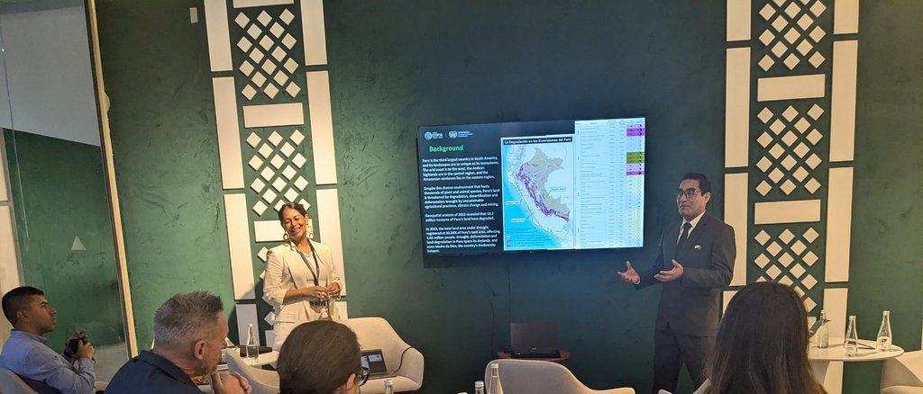
Meet us at UNCCD COP16
Pavilion located at Science Oasis, Green Zone
The LDN Toolbox
Interoperable tools and datasets
for monitoring, reporting
and implementation of LDN
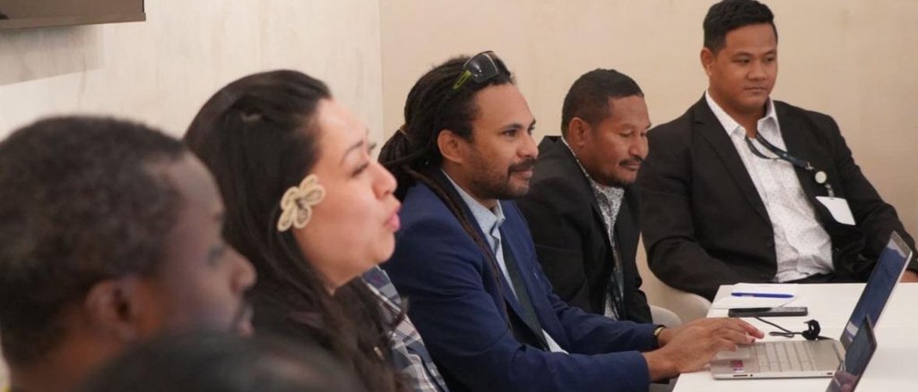
GEO-LDN Dialogue Forum
for Pacific Small Island Developing
States 2025
Application Deadline until 28 February 2025 23:59 (CEST)
GEO-LDN FLAGSHIP
The GEO Land Degradation Neutrality Flagship (GEO-LDN) is a stakeholder-driven initiative that was launched in 2018 during the Group on Earth Observations Week in Kyoto, Japan, responding to a request by the UNCCD's Conference of the Parties (COP13). It brings together Earth observation data providers and governments to develop minimum data quality standards, analytical tools and capacity building needed to strengthen land degradation monitoring and reporting, using remote sensing and data collected on site
GEO-LDN helps governments to access the necessary datasets and tools to prioritize interventions, monitor outcomes to manage land better and to report on Sustainable Development Goal (SDG) indicator 15.3.1 (Decision 9/COP.13).
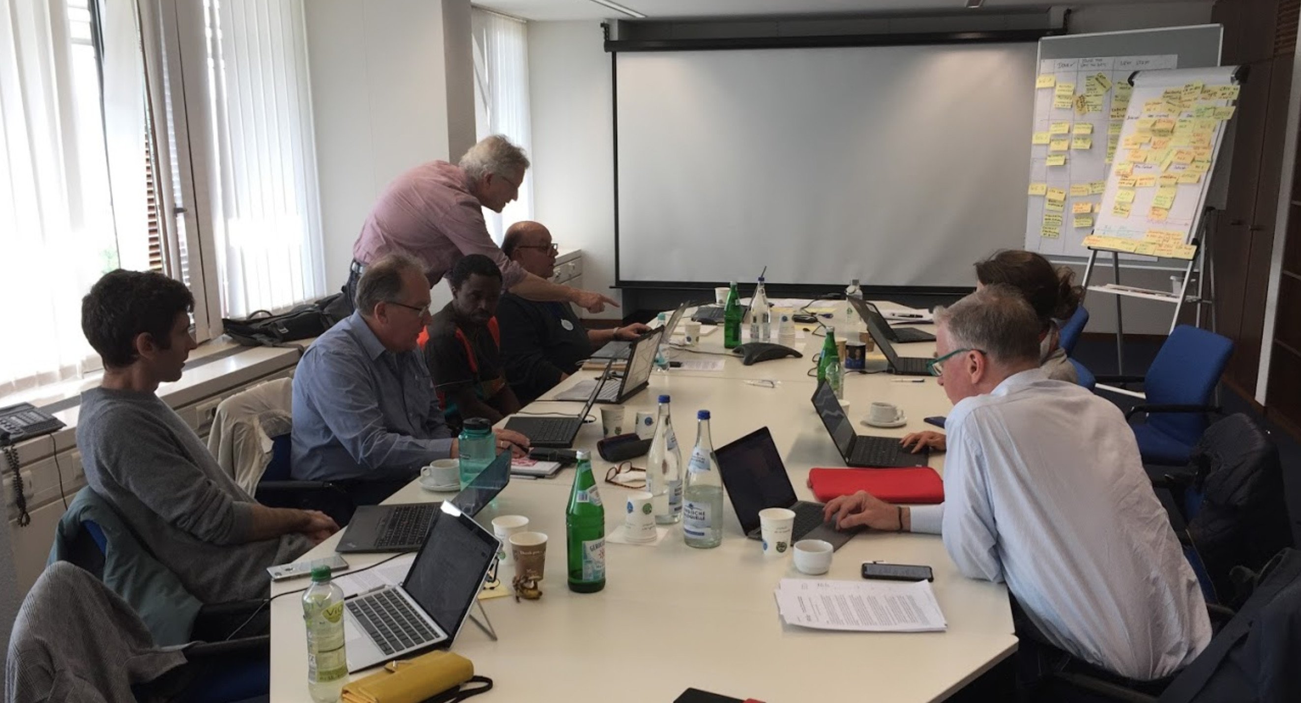
GEO LDN Principals meeting 29-30 April 2019 at the UNCCD Secretariat in Bonn. [Starting left and going clockwise: Alex Zvoleff (C.I., WG3 co-lead), Joost Teuben (GEO Secretariat), Amos Kabobah (UENR, GEO LDN co-chair and WG1 co-lead), Douglas Cripe (GEO Secretariat), William Sonntag (M.I.T., co-founder of the GEO LDN Initiative), Antje Hecheltjen (GIZ, GEO LDN co-chair and WG2 co-lead), Michael Cherlet (JRC, WG 3 contributor)]