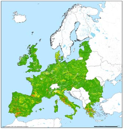
Pan European Soil Erosion Risk Assessment (PESERA)
Method to calculate/project soil loss from (water) erosion • Based on spatial data on topography, climate, soil condition, land cover and land management • Calculates current level of soil loss or projects future soil loss following climate and land use scenarios
- Keywords: SLM
-
Characteristics:
Decision Making Scale: National, Regional (Sub-national)
Decision Making Direction: Top-down
Stakeholder Involvement: Expert knowledge needed, Spatial data required, Training Required
Tool Type: Process-oriented tool
View Other Tools