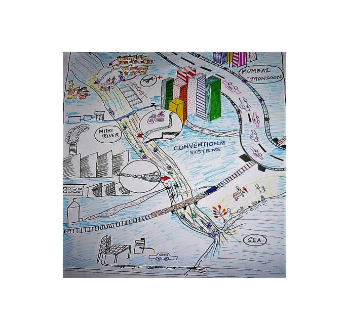
Locality mapping
• Stakeholders, either individually or in a group, draw a map of discussed geographic unit containing boundaries and important features, e.g., roads, rivers, towns and property boundaries • Additional information can be added with post-its, local materials, or 3-dimensional objects • Results are compared and the final result is created through negotiation and discussion by the entire group.
- Keywords: land use planning (LUP)
-
Characteristics:
Decision Making Scale: Local
Decision Making Direction: Bottom-up
Stakeholder Involvement: Expert knowledge needed, Spatial data required, Training Required
Tool Type: Rapid-appraisal
View Other Tools