IMPACT Toolbox
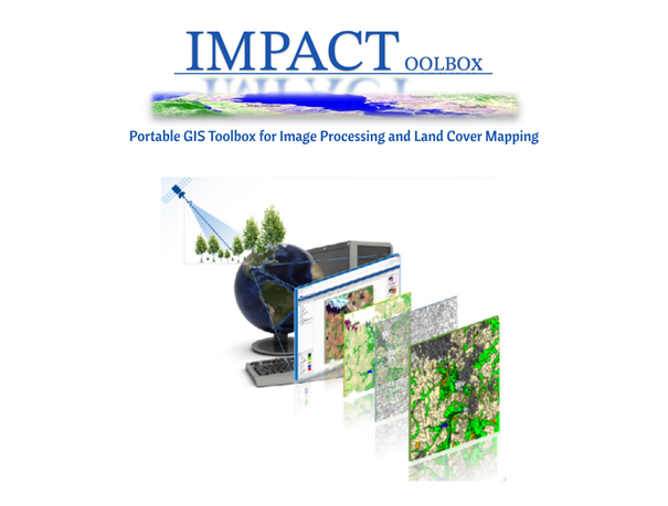
The IMPACT (Image Processing ) Toolbox is a Free and Open Source browser-based application, developed by the JRC of the European Commission to offer a combination of functions for remote sensing, photo interpretation and processing technologies in a portable and stand-alone GIS environment, allowing non specialist users to easily accomplish all necessary pre-processing steps while giving a fast and user-friendly environment for visual editing and map validation. No installation or virtual machines are required and therefore the package can be copied onto a portable device for easy execution and data sharing. Internet connection is not essential although might offer access to additional information such as very high resolution WMS layers from Google or other sources. IMPACT Toolbox contains modules for visual identification of forest degradation, soil erosion/loss (RUSLE), ground truth collection and spatial statistics all characterized by easy to learn and user friendly interfaces.
- Keywords: SLM, land use planning (LUP), land restoration
-
Characteristics:
Decision Making Scale: Local, National, Regional (Sub-national)
Decision Making Direction: Bottom-up, Top-down
Stakeholder Involvement: Expert knowledge needed, Spatial data required, Satellite data for monitoring, Training Required
Tool Type: Forward-looking, Optimization, Rapid-appraisal, Process-oriented tool
View Other Tools