Tools Listing
The tools shown below represent the Planning on regional level.
Sept. 13, 2024
QGIS
QGIS (Quantum Geographic Information System) is a powerful, open-source GIS software that enables u…
Keywords: SLM, land use planning (LUP), SDG 15.3.1, Forest monitoring, land restoration
Nov. 7, 2023
Revised Universal S…
• Method to calculate/project soil loss from (water) erosion • Based on spatial data on topography,…
Keywords: SLM
Nov. 3, 2023
CLUMondo model
The CLUMondo (Conversion of Land Use on Mondial Scale) is a powerful, spatially explicit land syste…
Keywords: land use planning (LUP)
Nov. 3, 2023
Collect Earth
Collect Earth Online is a free, open-source system for viewing and interpreting high-resolution sat…
Keywords: Forest monitoring
July 26, 2022
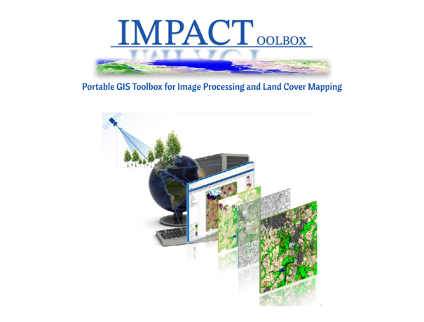
IMPACT Toolbox
The IMPACT (Image Processing ) Toolbox is a Free and Open Source browser-based application, develop…
Keywords: SLM, land use planning (LUP), land restoration
