Tools Listing
The tools shown below represent the Description and Assessment on regional level.
Jan. 20, 2025
Earth Map
Earth Map, developed by FAO and Google, is a user-friendly tool that leverages Google Earth Engine'…
Keywords: land use planning (LUP), Forest monitoring, land restoration
Sept. 13, 2024
QGIS
QGIS (Quantum Geographic Information System) is a powerful, open-source GIS software that enables u…
Keywords: SLM, land use planning (LUP), SDG 15.3.1, Forest monitoring, land restoration
May 3, 2024
KoBoToolbox
KoboToolbox is an innovative open-source platform for collecting, managing, and visualizing data. I…
Keywords: SLM, land use planning (LUP), Forest monitoring, land restoration
Nov. 8, 2023
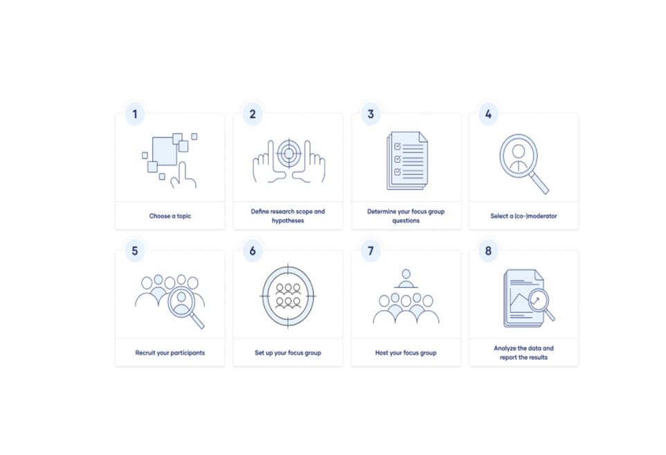
Focus Groups
Focus groups are a type of qualitative research. Observations of the group’s dynamic, their answers…
Keywords:
Nov. 7, 2023
Questionnaire on Su…
The ultimate goal of documenting and assessing land management practices is to share and spread val…
Keywords: SLM
Nov. 6, 2023
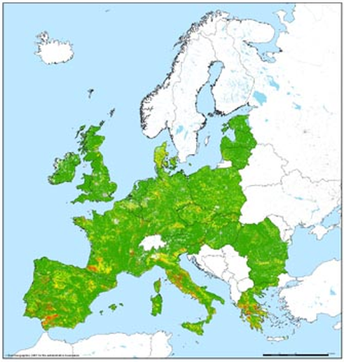
Pan European Soil E…
Method to calculate/project soil loss from (water) erosion • Based on spatial data on topography, c…
Keywords: SLM
Nov. 6, 2023
MapX
The MapX philosophy facilitates stakeholder access to pertinent data for informed decision-making t…
Keywords: SLM

Nov. 3, 2023
Collect Earth
Collect Earth Online is a free, open-source system for viewing and interpreting high-resolution sat…
Keywords: Forest monitoring
Oct. 31, 2023
WOCAT-LADA-DESIRE M…
The WOCAT-LADA-DESIRE mapping tool offers guidelines and a questionnaire to integrate spatial land …
Keywords: SLM

Oct. 31, 2023
SEPAL
SEPAL (System for Earth Observation Data Access, Processing, and Analysis for Land Monitoring) is a…
Keywords: SDG 15.3.1, Forest monitoring

Jan. 25, 2023
Trends.Earth
Trends.Earth, integrated into QGIS, serves as a valuable tool for tracking SDG 15.3.1 and assessing…
Keywords: SDG 15.3.1
July 26, 2022
IMPACT Toolbox
The IMPACT (Image Processing ) Toolbox is a Free and Open Source browser-based application, develop…
Keywords: SLM, land use planning (LUP), land restoration