Tools Listing
The tools shown below represent the Planning on local level.
Sept. 13, 2024
QGIS
QGIS (Quantum Geographic Information System) is a powerful, open-source GIS software that enables u…
Keywords: SLM, land use planning (LUP), SDG 15.3.1, Forest monitoring, land restoration
Nov. 8, 2023
LANDSCAPE
The tool is based on hierarchical allocation strategy and resistances of land use. It is used for q…
Keywords: SLM
Nov. 7, 2023
Revised Universal S…
• Method to calculate/project soil loss from (water) erosion • Based on spatial data on topography,…
Keywords: SLM
Nov. 6, 2023
LADA Local Assessme…
Local data is collected through transect walks, discussions, interviews, and assessments. Stakehold…
Keywords: SLM, land use planning (LUP)
Nov. 3, 2023
Collect Earth
Collect Earth Online is a free, open-source system for viewing and interpreting high-resolution sat…
Keywords: Forest monitoring
Nov. 3, 2023
CLUMondo model
The CLUMondo (Conversion of Land Use on Mondial Scale) is a powerful, spatially explicit land syste…
Keywords: land use planning (LUP)
Nov. 3, 2023
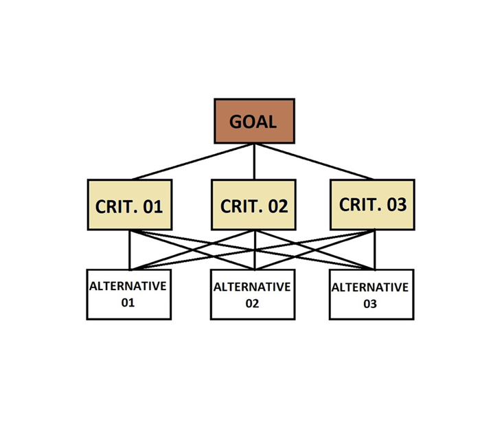
Analytical Hierarch…
The Analytical Hierarchy Process (AHP) is a widely used tool for multi-criteria analysis in natural…
Keywords: SLM, land use planning (LUP), SDG 15.3.1, Forest monitoring, land restoration
Oct. 31, 2023
Restoration Opportu…
The Restoration Opportunities Optimization Tool (ROOT) is a powerful resource for planning restorat…
Keywords: SLM, land restoration
Oct. 31, 2023
LUP4LDN
LUP4LDN (Land Use Planning for LDN) is a web-based tool that empowers users to visualize and assess…
Keywords: land use planning (LUP)
July 26, 2022
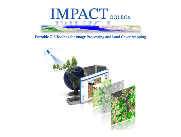
IMPACT Toolbox
The IMPACT (Image Processing ) Toolbox is a Free and Open Source browser-based application, develop…
Keywords: SLM, land use planning (LUP), land restoration
