Tools Listing
The tools shown below represent the Implementation on local level.
Sept. 13, 2024
QGIS
QGIS (Quantum Geographic Information System) is a powerful, open-source GIS software that enables u…
Keywords: SLM, land use planning (LUP), SDG 15.3.1, Forest monitoring, land restoration
May 3, 2024
KoBoToolbox
KoboToolbox is an innovative open-source platform for collecting, managing, and visualizing data. I…
Keywords: SLM, land use planning (LUP), Forest monitoring, land restoration
Nov. 7, 2023
Transect Walks
A transect walk is a systematic walk along a defined path (transect) across the community/project a…
Keywords: land use planning (LUP)
Nov. 6, 2023
LADA Local Assessme…
Local data is collected through transect walks, discussions, interviews, and assessments. Stakehold…
Keywords: SLM, land use planning (LUP)
Nov. 3, 2023
Collect Earth
Collect Earth Online is a free, open-source system for viewing and interpreting high-resolution sat…
Keywords: Forest monitoring
Nov. 3, 2023
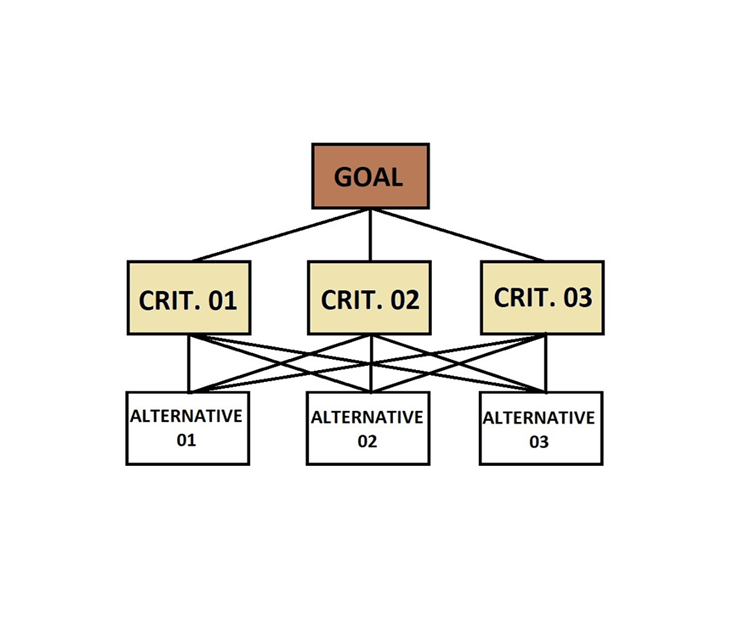
Analytical Hierarch…
The Analytical Hierarchy Process (AHP) is a widely used tool for multi-criteria analysis in natural…
Keywords: SLM, land use planning (LUP), SDG 15.3.1, Forest monitoring, land restoration
Oct. 31, 2023
Restoration Opportu…
The Restoration Opportunities Optimization Tool (ROOT) is a powerful resource for planning restorat…
Keywords: SLM, land restoration
Jan. 25, 2023
Trends.Earth
Trends.Earth, integrated into QGIS, serves as a valuable tool for tracking SDG 15.3.1 and assessing…
Keywords: SDG 15.3.1
July 26, 2022
IMPACT Toolbox
The IMPACT (Image Processing ) Toolbox is a Free and Open Source browser-based application, develop…
Keywords: SLM, land use planning (LUP), land restoration
