Overview
GEO-LDN provides an open-access set of tools, datasets, support, and relevant resources for anyone interested in strengthening land degradation monitoring and reporting and to support policy, planning and investment decisions for sustainable land management.
Presentation Slides:
|
DOWNLOAD: NBS and Land Degradation Neutrality: The need to harmonize and share data, methods and tools |
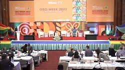
GEO Week 2022
|
|
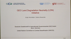
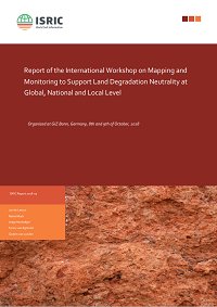
UNCCD (October 2018) | |
|
DOWNLOAD: |
GEO Data Technology Workshop (23 April 2019) |
|
DOWNLOAD: |
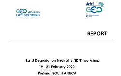
February 2020 |
Webinars and Videos:
|
Earth Observations in Support of the Sustainable Development Goals |
GEO-XV Plenary (1 Nov 2018); GEO-LDN from minute 01:11:00 |
|
GEO-XV Plenary (28 Oct 2018); GEO LDN presentation from minute 2:20:35, panel discussion from minute 2:50:35 | |
|
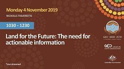
GEO Week 2019 |
|
|
Germany Federal Ministry for International Cooperation (BMZ) | |
|
GEO-18 (2 November 2022) Session 3: GEO-LDN presentation from minute 47:10 |
Workshop Reports:
|
DOWNLOAD: |
February 2020 |
|
October 2018 | |
Coming soon.