#02 Online Seminar
Download the presentation slides here.
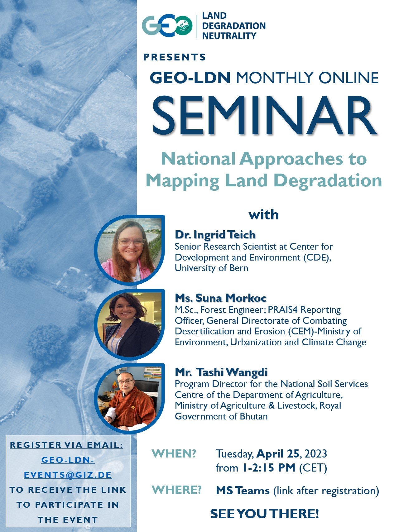
GEO-LDN continues its series of monthly online seminars. On 25th April, we hosted Dr. Ingrid Teich, Ms. Suna Morkoc and Mr. Tashi Wangdi who shared their experiences on processes to create and improve national datasets to map land degradation and inform SDG indicator 15.3.1. As the currently available global datasets in most cases have a medium resolution, that’s an important process, especially when actionable data are needed for spatial planning decision on national or sub-national level. Ms Suna Morkoc from the Ministry of Environment, Urbanization and Climate Change explained Türkiye´s experiences to estimate degradation based on land cover change. It is important to validate remote sensing data in the field, and to include local knowledge as well. The example from Bhutan was about alternative data for Land Productivity Dynamics Maps. Land productivity, one of the sub-indicators to measure land degradation, is a sensitive and fast-changing variable. Mr Tashi Wangdi, Program Director for the National Soil Services Centre of the Department of Agriculture, Ministry of Agriculture & Livestock, Royal Government of Bhutan showed how validation of data helped to improve the reliability and quality of national datasets.