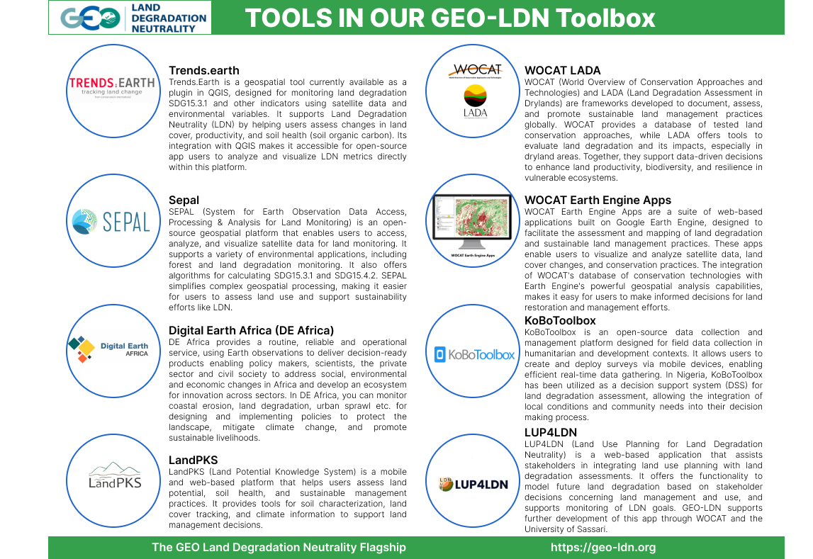
The LDN Toolbox is a curated set of analytic tools and methods to monitor land degradation and plan measures to reach LDN goals. Examples of tools featured include Trends.earth, LandPKS and the Kobo tools.
There are many software tools, methods and datasets to identify, monitor and measure land degradation. If used correctly, these can be powerful tools in healing lands. However, picking the right one (or two) for the decision context can be daunting. Which tool gives me access to reliable satellite data on changes in land cover? How do I capture feedback from experts and land holders in the field? Is there a product created specifically for the verification of data?
The GEO-LDN Toolbox is a good user-oriented entry point to answer those questions. Upon access, the user has the option to search a tool by filter, a list or through a need-based navigation system. The tools are structured according to the five phases of an integrated land use planning cycle.
Some of the tools include Trends.Earth, which simplifies the use of Google Earth Engine to measure the sub-indicators of SDG 15.3.1; LandPKS for data verification on the ground; and the Kobo toolbox to simplify design of online forms.
Below are more details on some of the applications available in the GEO-LDN Toolbox:

Technical questions on the LDN Toolbox? Contact the GEO-LDN Helpdesk at: helpdesk@geo-ldn.org.
