Edward Boamah is among the scholarship recipients of an LDN-focused postgraduate program in Ghana supported by the GEO-LDN Flagship
In 2023, the GEO-LDN Flagship established an international postgraduate program focused on land degradation neutrality (LDN) at the University of Energy and Natural Resources (UENR) in Ghana.
The programs—MSc in Land Degradation Neutrality, MPhil in Land Degradation Neutrality and PhD in Sustainable Land Management—integrate emerging topics and trends in responsible management of land resources to ensure that candidates are trained in state-of-the-art technologies and approaches that are equipped with up-to-date information.
Now running in its second year, the postgraduate program was established to create an academic platform where aspiring LDN practitioners could develop their skills and understanding in protecting and restoring land.
A total of 29 students are funded in the scholarship program. They were selected by an academic committee in a transparent process. At the end of the second semester, these students agreed on research topics, some of which will shed more light on current issues in the work at LDN and thus possibly bring new approaches and innovation.
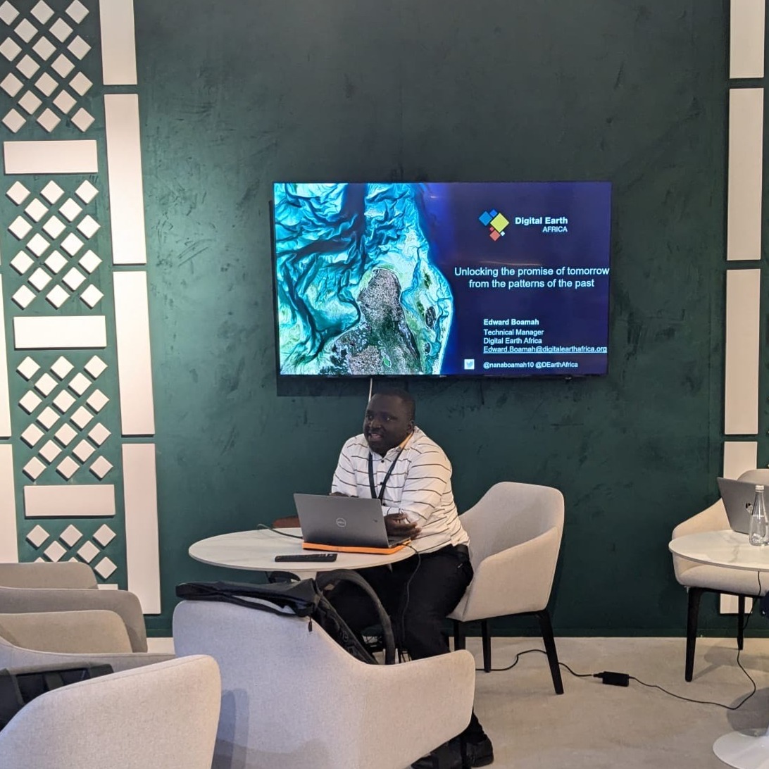
Among the recipients of the scholarship program is Edward Boamah, a PhD student and a technical manager from Digital Earth Africa (DE Africa). Digital Earth is a sister initiative of the Group on Earth Observations with a very active community in Africa, and a close partner of GEO-LDN.
Boamah has an extensive background in Geographic Information Systems (GIS) and Remote Sensing and has been working with Team Ghana Coastal Erosion. Team Ghana Coastal Erosion is among the 11 country teams working with GEO-LDN in harnessing geospatial data to restore land.
He was also among the experts invited by the Flagship to attend the UNCCD COP16 in Riyadh last December. Boamah led the training on the use of DE Africa and likewise participated in the workshops hosted by GEO-LDN during the 2024 Global Dialogue Forum, hosted on the sidelines of COP16.
“As a PhD student, I found the experience incredibly valuable. The interactive sessions facilitated among the participating countries provided a dynamic platform for learning, networking, and sharing perspectives. The exchange of ideas and knowledge has significantly broadened my understanding of key issues and strategies being pursued at a global level,” Boamah said.
Get to know more about Boamah below:
Why did you choose a career in GIS?
I was first introduced to GIS during my undergraduate years, and what inspired me to pursue a career in this field was its ability to analyze and visualize data, making it easier for users to understand and interpret information. The power of spatial data in enhancing environmental conservation and urban planning further fueled my interest.
Additionally, GIS is a rapidly growing field with diverse applications in agriculture, health, infrastructure, and many other sectors. The potential to use geospatial technology to drive informed decision-making and solve real-world challenges motivated me to specialize in GIS and contribute to sustainable development
Can you tell us about your experience in the PhD program in Sustainable Land Management at UENR?
My PhD journey at the UENR has been both rewarding and insightful, shaping my academic and professional growth. The program combines mapping technology, environmental management, and policy frameworks to address critical land-related challenges. Through coursework, research, and collaboration, I have gained a deeper understanding of land tenure security, ecosystem monitoring, and climate resilience strategies.
Hands-on training with advanced tools like Trends.Earth, DE Africa, and the use of drone data for high-resolution mapping and analysis has enhanced my data analysis skills. This practical experience allows me to apply theoretical knowledge to real-world problems effectively. My expertise in sustainable land management continues to grow, equipping me to contribute meaningfully to land governance and environmental conservation in Ghana and beyond.
How do you see the program helping you with your current work as a GIS specialist?
The program has deepened my understanding of sustainable land management, particularly in utilizing Earth observations for environmental monitoring. I have gained valuable insights into land degradation neutrality, learning how satellite imagery and remote sensing technologies help assess, track, and report land degradation over time. This knowledge is especially relevant to my work with DE Africa, where I analyze geospatial data to support sustainable land-use decisions. By leveraging Earth observation services, I can better contribute to efforts aimed at maintaining land productivity, restoring degraded ecosystems, and informing policies that promote land sustainability and resilience against environmental changes.
Can you tell us about the support you have provided for the Ghana intersectoral team?
Recently, I collaborated with a Ghanaian intersectoral team to use Earth observation technology to monitor the impact of coastal erosion on coastal land, with a focus on the Keta community. This project leveraged DE Africa's continental services and the annual Geomedian product for effective monitoring.
Beyond supporting the team, I also played a key role in building the capacity of the focal person, equipping them with the skills to use these tools for analyzing other areas beyond the selected study site. This experience reinforced the importance of geospatial technology in addressing environmental challenges and informing decision-making.
What are other research projects you’re working on right now?
I am exploring the use of higher-resolution (30m) Earth observation products to improve land monitoring and support LDN efforts.With these advanced datasets, countries can rely on more detailed and accurate imagery for reporting and decision-making.
Additionally, I am collaborating with an institutional partner that is keen on utilizing Earth observation data from the Digital Earth Africa platform to assess and monitor land degradation. This partnership aims to enhance the use of geospatial technology in tracking environmental changes, ensuring more precise assessments, and supporting sustainable land management efforts across different regions