The HowToLDN series highlights the efforts of intersectoral country teams to implement their roadmaps towards Land Degradation Neutrality (LDN). These teams have been supported by the flagship GEO LDN program since our 2023 Global Dialogue Forum in South Africa. This post highlights Team Peru:
Background:
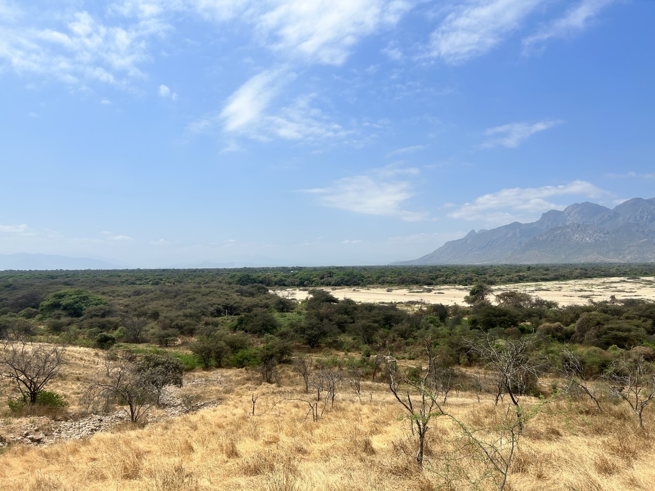
Peru is the third largest country in South America, and its landscapes are as unique as its ecosystems. The arid coast is to the west, the Andean highlands are in the central region, and the Amazonian rainforest lies in the eastern region. Despite this diverse environment that hosts thousands of plant and animal species, Peru’s land is threatened by degradation, desertification and deforestation brought by unsustainable agricultural practices, climate change and mining. Geospatial analysis revealed that 19.2 million hectares of Peru’s land have degraded. In 2019, the total land area under drought registered at 33.58% of Peru’s land area, affecting 1.56 million people. Drought, deforestation and land degradation in Peru spans its drylands, and even Madre de Dios, the country’s biodiversity hotspot.
HowToLDN use case:
Peru aims to restore 3.2 million hectares of degraded lands and to create a system for assessing and monitoring land degradation. To meet these targets, Team Peru has mapped out a three-year plan, beginning with institutionalization of a methodological framework for estimating land degradation. This includes the review, evaluation and update of geospatial database. A pilot system will then be designed before the implementation of the monitoring system at a national level. Team Peru likewise aims to assess the impact of human activities and the land degradation impact on the environment to make sound policies and land use management.

How the Flagship initiative supported Team Peru:
The GEO LDN Flagship has provided technical assistance to Team Peru, including various Earth observation tools and methodologies specific to country needs. Geospatial data and tools such as LANDSAT, Sentinel-2, RapidEye, and Google Earth Engine provided satellite imagery and processing capacities that were used to identify degraded lands. The use of these geospatial solutions and technologies have significantly advanced the analysis of land degradation in Peru. The GEO LDN Flagship has also provided trainings to strengthen members of the Peruvian Ministry of Environment to improve the monitoring and reporting of the technical team.
