Our #HowtoLDN Series features the efforts of intersectoral country teams implementing their roadmaps to achieving Land Degradation Neutrality (LDN) through Earth Observations. These country teams have been supported by the GEO-LDN Flagship since the Global Dialogue Forum 2023 in South Africa. Today we are featuring Team Kenya:
Kenya uses geospatial data to achieve their goals; from identifying suitable areas for restoration and determining soil types to deciding on appropriate seedlings, distributing these seedlings at schools and engaging students in planting them. Geospatial data is then used again to monitor the growth of the trees. This use case is an example of how Local Action can contribute to multiple goals simultaneously: LDN, biodiversity, climate resilience, and the Kenyan "15 Billion Trees" initiative.
Kenya’s land is heavily affected by desertification, partially due to multi-year droughts which impact the livelihood, agricultural production and livestock of the 54 million Kenyan people severely. To combat this, the Kenyan country team has crafted a 2024 roadmap that aligns with the country's spatial planning framework as part of the Kenya Vision 2030. Kenya also launched the “15 Billion Trees” ten-year initiative in 2022 to reverse deforestation, lower greenhouse emissions and restore degraded landscapes. Utilizing geospatial data for sustainable land use planning is a key strategy to halt land degradation and ensure the sustainable use of land resources in Kenya.
🛰The #HowToLDN use case from #TeamKenya
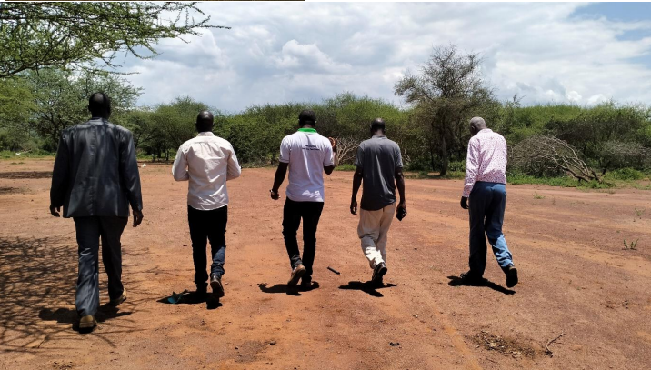
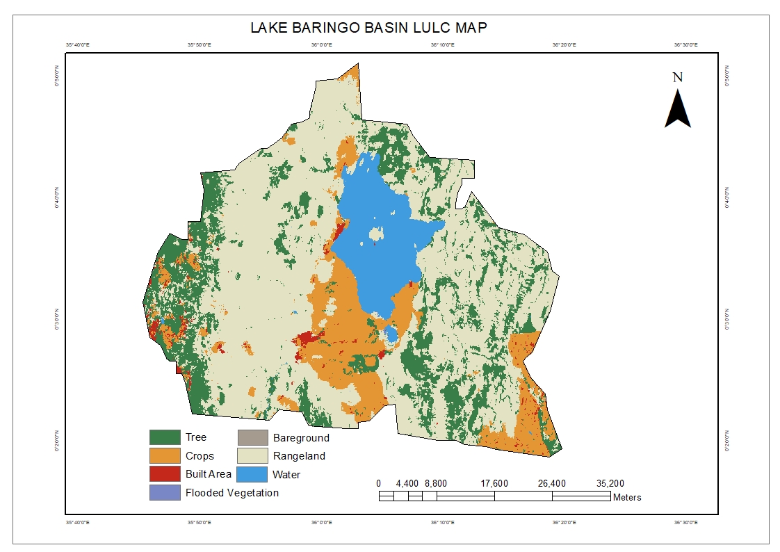
On their journey to achieving Land Degradation Neutrality (LDN), #TeamKenya has crafted a 2024 roadmap that aligns with the country's spatial planning framework as part of the Kenya Vision 2030. The first step involved conducting baseline data collection and analysis in the Lake Baringo basin, engaging stakeholders at various levels including ministries, local communities and community-based organizations.
Field trips and interviews were utilized to identify the root causes of land degradation. A working group from two relevant ministries, a university and an NGO used geospatial information to map areas particularly affected by land degradation and identified suitable sites for reforestation using the appropriate indigenous tree species. Based on the collected information and data, a proposal outlining sustainable land restoration management strategies was then formulated.
To enhance knowledge and raise awareness about critical measures to combat land degradation and achieve LDN, especially in agriculturally productive areas and rangelands, capacity development workshops were conducted. These workshops placed a special emphasis on the role of policymakers. Concurrently, efforts were made to acquire the necessary resources for restoration planning.
Learn more about the LDN roadmap of Kenya: Kenya Roadmap.jpg
💪How the #GEO-LDN Flagship supported #TeamKenya
The Kenya use case is an excellent example of how a country team can succesfully plan and implement measures to reduce deforestation and soil erosion in a specific region. GEO-LDN advised the team on selecting relevant spatial data and provided an easy-to-use, web-based decision support system. The intersectoral team is now distributing seedlings to schools in the identified areas and plans to use satellite data to monitor the success of the reforestation efforts.
Learn more about the GEO-LDN Flagship: GEO-LDN | About us
✅ Looking for support to drive LDN forward in your country? Contact us at: info@geo-ldn.org