GEO-LDN shares user experience at CLMS General Assembly
The Copernicus Land Monitoring Service (CLMS) provides geographical information on land cover, land use and its changes. Mostly based on high-resolution Sentinel satellite data, it is an important data provider in the context of LDN, providing open access datasets for instance on land cover, land productivity, vegetation disturbances, soil moisture and many more.
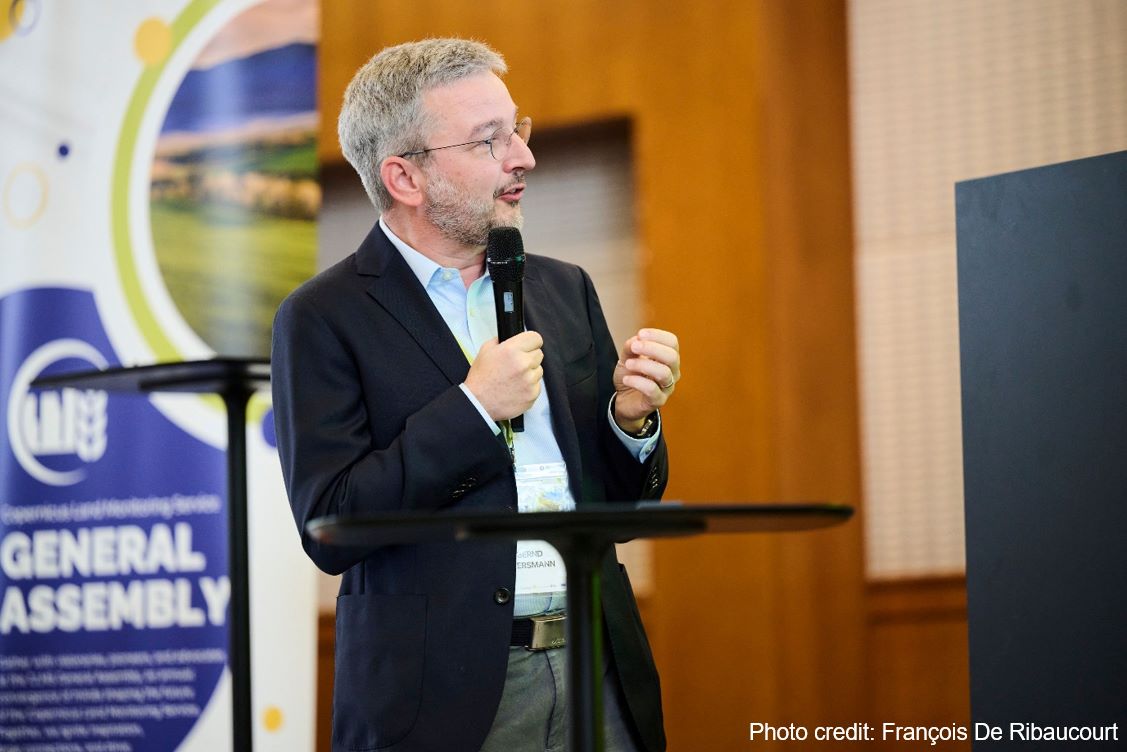
The CLMS General Assembly brought together more than 300 industry experts, researchers and policymakers for a 3-day conference in Antwerp, Belgium from June 3rd to 5th (in-person and online). UNCCD and GEO-LDN were invited to present in the session “User presentations: Implementations and requirements” on day 3. As the title suggests, the session was an opportunity to present how we utilise Copernicus services in global datasets, which feedback we receive from countries in terms of monitoring and implementation requirements, and what our wishes are for the continued development of CLMS services and products. Furthermore, the conference was a great chance to learn about upcoming new Copernicus sensors and services, and to connect with key partners such as RCMRD and Centre de Suivi Ecologique (CSE).
Find out more about the programme on day 1 and 2 on the full event agenda.