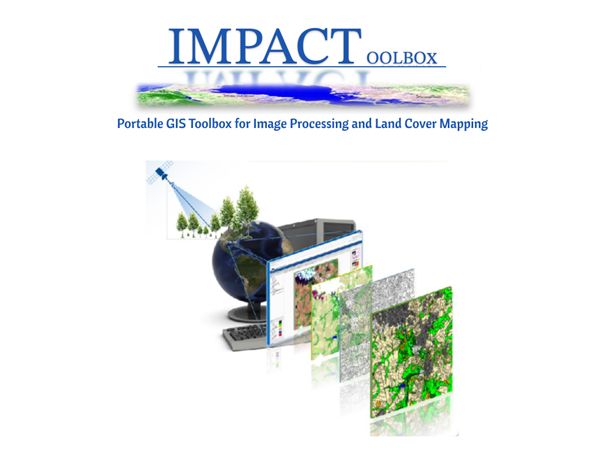
GEO LDN has been actively seeking innovative tools to enhance land monitoring and reporting across various levels of governance. Recently, through the Regional Center for Mapping of Resources for Development (RCMRD), we discovered the IMPACT Toolbox developed by the Joint Research Centre (JRC) of the European Commission - a groundbreaking asset for sustainable land management.
This free, open-source application features an intuitive design and includes the Revised Universal Soil Loss Equation (RUSLE) as a key module for estimating annual soil loss in catchment areas. It is particularly valuable for monitoring land resources (especially soil erosion) and enhancing the accuracy of environmental reports at national, sub-national, and local levels. GEO-LDN integrated RUSLE into the GEO-LDN Toolbox.
With RUSLE, you can easily identify areas affected by soil erosion and create spatial targeting strategies to reduce soil loss.
The challenge of monitoring soil erosion in your country has just become easier. Try out this new tool and share your experiences with us!
To learn more about the tool and its methodology, visit our website: https://geo-ldn.org/ldn-toolbox/impact-toolbox/.
Special thanks to RCMRD for introducing us to this tool!
